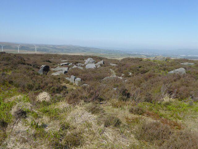
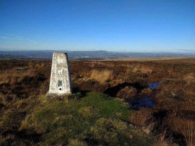
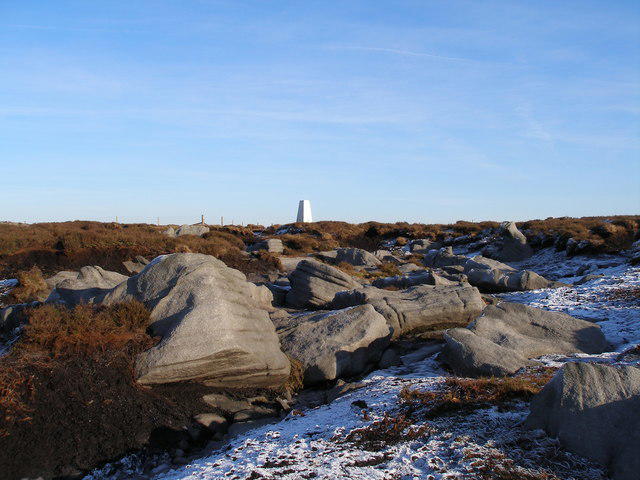
Hoof Stones Height [Black Hameldon]
Hoof Stones Height [Black Hameldon] Group Walks | Join a Walk
Join group walks, find walking companions and friends, or organise your own!
Classifications
Looking for walking companions?
Don't walk alone! Find friendly walkers to explore Hoof Stones Height [Black Hameldon] together. Join scheduled group walks or start your own.
Elevation
479m
1,573 ft
Prominence
100m
Coordinates
53.7581, -2.1308
SD914290
OS Map
103
Explorer: OL21N OL21S
At the Summit
The summit features a prominent stone cairn and a trig point, a perfect spot for a photo-op or a cheeky rest amidst the panoramic views.
Terrain & Geology
Primarily composed of millstone grit, the geology of Hoof Stones Height tells the story of an ancient landscape shaped by glacial activity, revealing striations and weathered rock faces.
Views & Scenery
On clear days, one can see as far as the South Pennines and the rolling valleys of Lancashire. The view to the west includes Pendle Hill, an iconic landmark.
History & Heritage
Name Origin
The name 'Hoof Stones Height' refers to the large stones that are said to resemble horse hooves, a nod to local folklore.
Historical Significance
Historically, the area was used by local farmers for grazing and has strong links to the industrial heritage of the Pennines.
Photo Gallery
View allPopular Routes
From the Public Footpath near Black Hameldon
EasyThis gentle ascent follows a well-trodden footpath that meanders through grassy slopes, ideal for casual hikers and seasoned veterans alike.
Getting There & Facilities
Parking
There is limited parking available at the nearby hamlet of Black Hameldon, where you can find space for around 6-8 cars.
Public Transport
Regularly serviced by local buses from Burnley and Accrington; best to check local schedules beforehand.
Nearby Facilities
Facilities are sparse in the immediate area, but Burnley offers cafes, pubs, and public toilets for visitors.
Safety Information
Known Hazards
- Watch out for occasional boggy patches after rain, and be mindful of rapid weather changes typical in upland areas.
General Safety Tips
- Check weather conditions before setting out
- Carry appropriate clothing and equipment
- Let someone know your planned route
- Take a map, compass, and GPS device
- Carry emergency supplies: food, water, first aid kit, torch
Find Walking Companions
Join friendly walkers exploring Hoof Stones Height [Black Hameldon] and surrounding area
Walks Near Hoof Stones Height [Black Hameldon]
More walks starting close to this area
Malham Landscape Trail: Janet's Foss, Gordale Scar, and Malham Cove
Old Glossop and Bleaklow Head Circular with B-29 Crash Site
county
Create a walk and let others join you. It's free and easy!
Hills
Some common questions about the hills answered
Are there group walks up Hoof Stones Height [Black Hameldon]?
Many walkers use Walkmates to join or organise walks with others. You can check for group walks around Hoof Stones Height [Black Hameldon] through the maps
Are there other walkers around Hoof Stones Height [Black Hameldon]?
Activity varies by location and time, but Walkmates lets you see whether others have shared walks or shown interest in this area. Find other people through the walking friends search walking friends for Hoof Stones Height [Black Hameldon] search or of course create your own walk for Hoof Stones Height [Black Hameldon]
Can I organise a walk to Hoof Stones Height [Black Hameldon]?
Yes. If there aren’t any walks listed already, you can create a walk and make it available for others to join.
If you're signed up to Walkmates, you can create a walk to Hoof Stones Height [Black Hameldon].
How do I find a walk up this hill?
There are often multiple ways to walk this hill, depending on experience and route preference. Walkmates helps you explore walks and routes that others have shared.
Can I suggest a new route up Hoof Stones Height [Black Hameldon]?
Yes. You can suggest or create routes to share with others. Walkmates focuses on the social side of walking, so routes are used to help people organise walks and explore areas together, rather than as detailed navigation tools or route libraries.
Other uses really appreciate knowledgeable walkers sharing their routes. Share your favourite route to Hoof Stones Height [Black Hameldon] here
The is an error or something incorrect about this hill. How do I let you know?
We always strive to keep the information on Walkmates as accurate as possible. If you find an error, please let us know through the contact form and we'll aim to correct it as quickly as possible
Community Discussion
Comments
Location
Grid Ref: SD914290
Nearby Hills
Pendle Hill
557m
Rombalds Moor [Ilkley Moor]
402m
Winter Hill
456m
Pen-y-ghent
694m
Buckden Pike
702m
+ 5 more nearby hills
More Walks Nearby
Find more walking companions in the area
No comments yet. Be the first to share your thoughts!